- May 20, 2025
-
The Backbone of Real Estate:
Precision in Land Surveys
Behind every successful real estate transaction is a solid foundation—not just in concrete, but in clarity and precision. Whether you’re buying, selling, or developing land, knowing the exact boundaries of your property is non-negotiable.
In this blog, we’ll break down why land surveys are the unsung heroes of real estate, the role of modern technologies like DGPS, and why manual surveys still hold power in today’s tech-driven world.
The Importance of Survey Chains in Real Estate
What Is a Survey Chain?
A survey chain is a method used to measure land distances and define property lines. While the term originates from traditional manual surveys, it's still used today to describe boundary verification tools and survey data chains.
Why It Matters in Real Estate?
- Ensures legal clarity in ownership
- Helps avoid boundary disputes
- Essential for title registration and zoning approval
Applications in Modern Real Estate
- Urban development planning
- Agricultural land acquisition
- Plot subdivision and layout planning
- Real estate project approvals
✅ A single survey error can lead to costly litigation or delayed projects. Accuracy is everything.
Key Technologies in Land Surveys
Modern surveying combines precision instruments and GPS technology to map land quickly and accurately. Let’s look at the top tools reshaping land verification today.
DGPS (Differential Global Positioning System)
- Provides centimeter-level accuracy
- Corrects errors from standard GPS using a reference station
- Ideal for large plots and remote locations
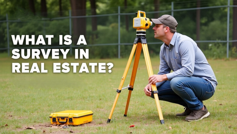
Total Station
- Measures angles and distances from a fixed point
- Delivers 3D mapping and topographical surveys
- Common in construction site planning and land subdivision
Advanced Rover Systems
- Mobile survey tools mounted on vehicles
- Capture real-time geospatial data on the move
- Used in urban mapping, highway planning, and site inspections
💡 These technologies dramatically reduce survey time and boost data accuracy, making them indispensable for large-scale real estate projects.
Why Manual Surveys Still Hold Their Value?
Even with high-tech tools, manual land surveys are still relevant—especially in legal and rural contexts.
Ground-Level Accuracy
- Human surveyors detect on-site variations like fencing, encroachments, and terrain that tech might miss
- Essential in boundary conflict resolution
Legal Reliability
- Manual surveys are often preferred in court as official boundary evidence
- Government officers may require hand-drawn survey sketches along with digital reports
Experienced Insight
- Manual surveyors bring decades of local knowledge
- They identify historic boundary markers and natural borders
🤝 Best Practice: Combine digital mapping with manual verification for the most comprehensive survey.
Choosing the Right Survey Method
When to Go Digital (DGPS, Total Station)
- You’re buying a large or irregular property
- The plot lies in a developing zone or near infrastructure projects
- You need quick turnaround for project planning or resale
When to Choose Manual Survey
- For legal disputes or registration issues
- In rural areas with unclear past records
- When applying for Patta name changes or land conversion
Hybrid Approach – The Best of Both Worlds
- Use DGPS or Total Station for technical data
- Follow up with a manual surveyor’s visit to spot discrepancies and confirm ground reality
✅ Many property developers today opt for both methods to ensure full compliance and avoid setbacks.
The Future of Surveying in Real Estate
Surveying is no longer just about measurements—it’s about land intelligence. As technology evolves, so do the ways we document and manage land assets.
Trends to Watch
- Drone surveys for aerial mapping
- AI-driven analysis of terrain and zoning
- Blockchain-based land record systems
Benefits of Modern Survey Systems
- Tamper-proof documentation
- Real-time mapping and location tracking
- Integration with government e-services like tnreginet.gov.in
Impact on Investors and Buyers
- Faster decision-making
- Higher resale value with documented proof
- Reduced legal risk in transactions
FAQs – Land Surveying for Real Estate
Q1: Is DGPS survey legally accepted for Patta transfer?
Yes, many Tamil Nadu revenue offices accept DGPS data as supporting proof, but a manual sketch or FMB may still be required.
Q2: How much does a land survey cost in Tamil Nadu?
Cost varies by land size and method used—manual surveys may cost ₹2,000–₹5,000, while DGPS/Total Station can range from ₹10,000 upwards.
Q3: Can I do a survey without land documents?
Not recommended. You’ll need at least a Patta, sale deed, or survey number to begin any legal survey.
Summary: Accuracy is Ownership
In real estate, the only way to own with confidence is to know what you own—down to the last inch. Whether it’s a villa in the suburbs or farmland in the countryside, surveys lay the groundwork for everything—planning, buying, building, and selling.
Don’t cut corners—invest in precision to protect your investment, avoid conflicts, and build on solid ground.


Comments :
Currently, there are no comments in this post. Be the first person to comment on this post.